|
Kudoh Laboratory aims to construct an academic system of the Environmental Informatics and to make an unique study of earth environmental theme by using Information Technology. We realize the international research cooperation with Russia (Russian Academy of Science and Moscow State University) and USA (UC Berkeley) as a total research strategy. Domestic research laboratories also participate.
We have developed a three-dimensional histogram to analyze satellite images that consisted of a number of spectral data. And we extended to multi-dimensional method to obtain extraction reliable results of the aerosols such as air pollution and yellow sand.
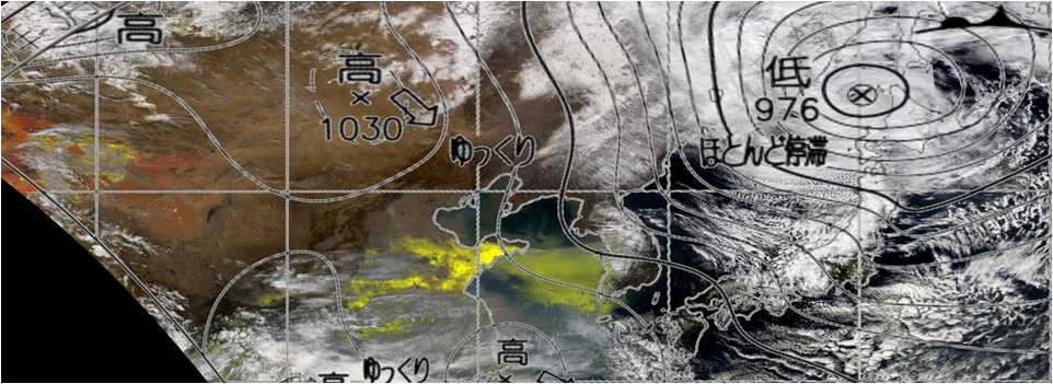
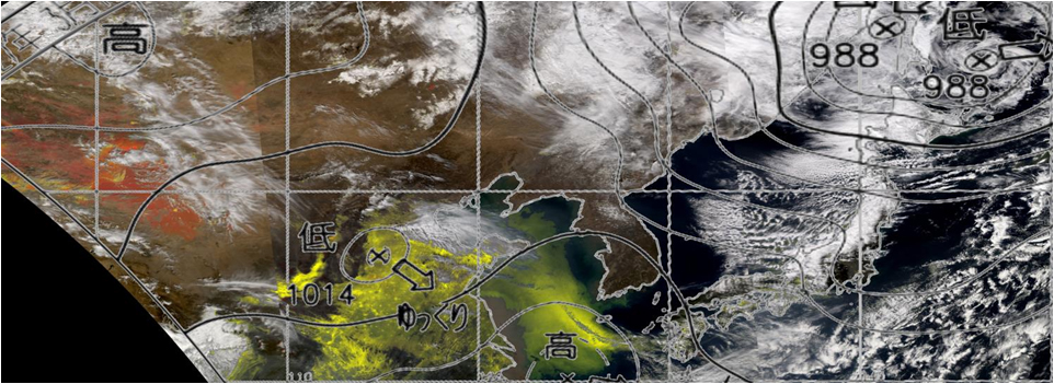
The Research Unit for CO2 Reduction System by the Management of Forest Fires is going. And the Home Page of NOAA satellite image database was accessed more the 3.3 million every year since 1990. And also we are preparing The Trans-boundary Air Pollution including PM2.5 from China Satellite Image Database. We start the other satellites, MODIS, MTSAT and NPP direct readout. Besides the research of image fusion processing for less than 1 m resolution satellite images is in progress.
Research Themes:
- CO2 Reduction System by the Management of Forest Fire
- Development of image fusion algorism for 1m satellite data
- Construction of a system of large-size image database
- Visualization for China's pollution and Asian dust by MODIS images
|